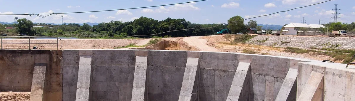
The hot, dry summers and winter rains of the Diablo Valley create a challenging shrink-swell environment for the clay-rich soils beneath Concord. A cut that stays stable in September can start creeping in January once the first atmospheric river saturates the upper weathered zone. Geotechnical excavation monitoring here is not a one-size-fits-all checklist; it requires an instrument plan that responds to seasonal moisture cycles and the layered alluvium deposited by the Walnut Creek system. Our team designs monitoring programs that track lateral deformation, pore-water pressure shifts, and vibration impacts on adjacent structures, giving contractors the early warning they need before a small movement becomes a costly repair. When the excavation approaches the water table near the northern flats, we often integrate data from an in-situ permeability test to confirm that dewatering assumptions still hold as the pit deepens.
Most excavation failures in the Diablo Valley start with an unread piezometer, not a sudden collapse. Real-time groundwater tracking is the cheapest insurance a project can buy.
Local ground factors
A three-story medical office building was going up on Salvio Street, with the excavation wall just eight feet from an older masonry structure. The contractor hit a pocket of saturated silty sand at 14 feet that the preliminary boring had missed. Within six hours, the inclinometer at the east corner showed 9 mm of cumulative deflection, and the piezometer next to it spiked 4 psi above the design assumption. The monitoring system pushed an alert to the superintendent's phone at 3:47 a.m. The crew stopped dewatering, installed a row of quick-set horizontal drains, and the wall stabilized before any crack appeared in the neighboring building. Without that real-time data feed, the deflection would have been discovered days later as a shear crack walking up the masonry facade. In Concord's layered alluvium, where permeable seams are common, monitoring is the only way to catch these transitions before they become emergencies.
Common questions
What monitoring does the City of Concord require for an excavation deeper than 10 feet?
Concord enforces the California Building Code (CBC) Chapter 33, which mandates a monitoring plan prepared by a licensed geotechnical engineer for any excavation deeper than 10 feet that is adjacent to public right-of-way or existing structures. The plan must specify instrument types, locations, reading frequencies, and threshold values for notification and work stoppage. We prepare the plan, install the instruments, and provide the weekly compliance reports the city requires.
How much does geotechnical excavation monitoring cost for a typical Concord project?
A basic monitoring program for a single-family lot excavation runs from US$860 to US$1,500, covering installation of a few settlement points and manual readings over a two-month period. A comprehensive automated system for a commercial excavation near downtown, with total stations, inclinometers, and piezometers, typically ranges from US$1,800 to US$2,290 per month of monitoring, depending on sensor count and reporting frequency.
How fast can you deploy instruments if we encounter unexpected groundwater?
We keep vibrating-wire piezometers and portable readout units in stock for same-day deployment in Concord. A technician can install a standpipe or drive-down piezometer within four hours of the first water observation, and we can have an inclinometer casing grouted in place by the following morning if the drilling window allows.
What is the difference between manual and automated monitoring for an excavation?
Manual monitoring relies on a surveyor visiting the site once or twice a week to read settlement points and inclinometers. Automated systems use robotic total stations and dataloggers to record readings every 15 to 60 minutes, 24/7, with cloud-based alerts. For excavations within 20 feet of occupied buildings or active roadways in Concord, we strongly recommend automation because the time between a measurable movement and a visible crack can be measured in hours, not days.